 |
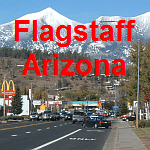
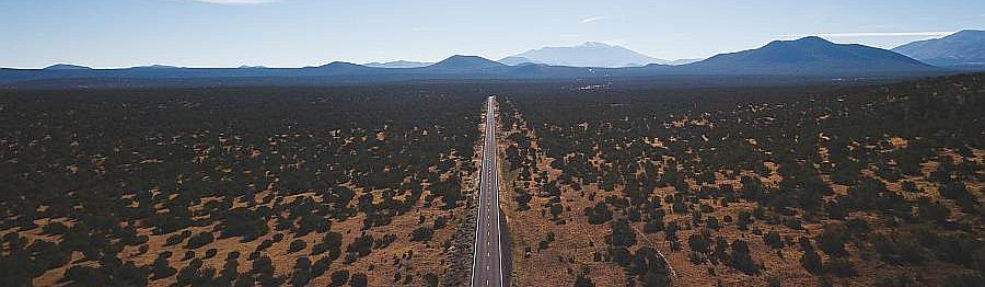
| Located in the high country mountains of northern Arizona, Flagstaff's four seasons are enviable by many. Winter adventures await in Arizona's officially designated Winter Wonderland with an average 108" of snow fall in downtown, while Spring offers breathtaking beauty of blooms in the world's largest contiguous emerald green ponderosa pine forest. |
| |
 |
|
| |
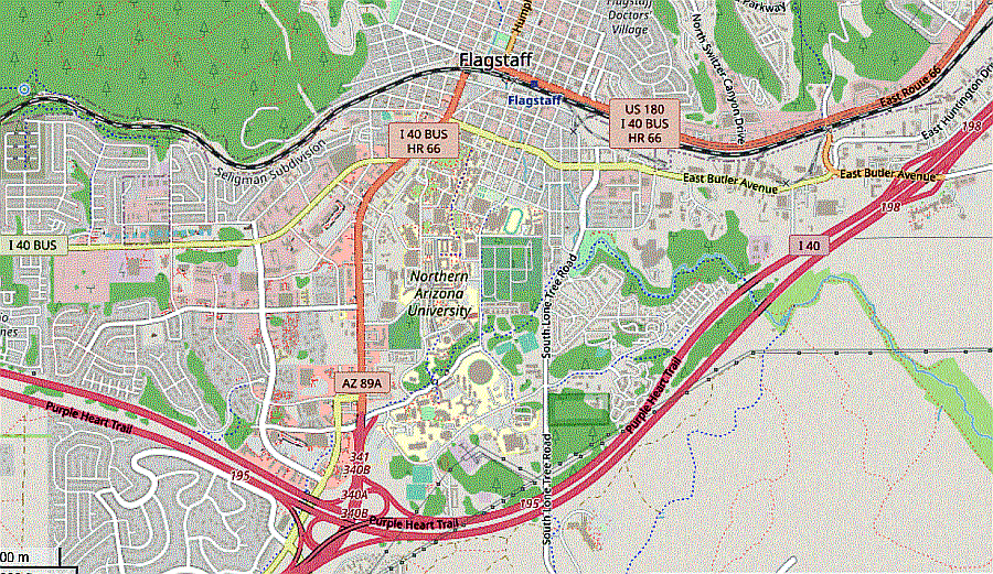 |
Map Of Flagstaff, Arizona |
| |
 |
| |
 |
| |
| |
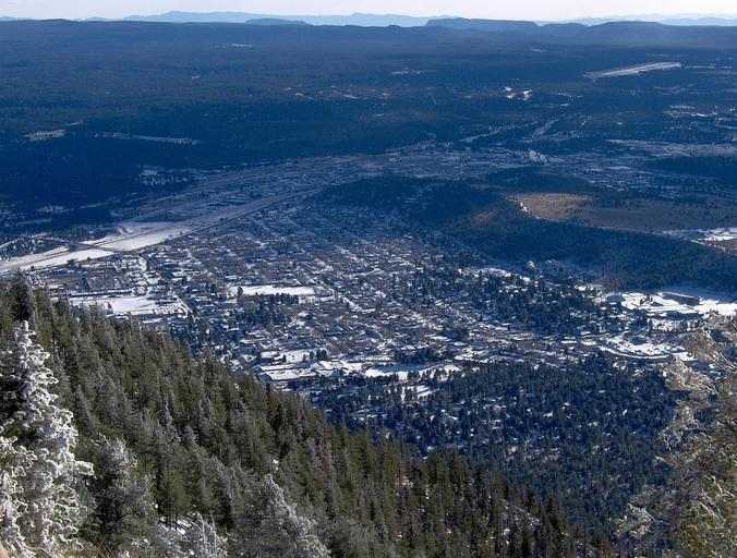 |
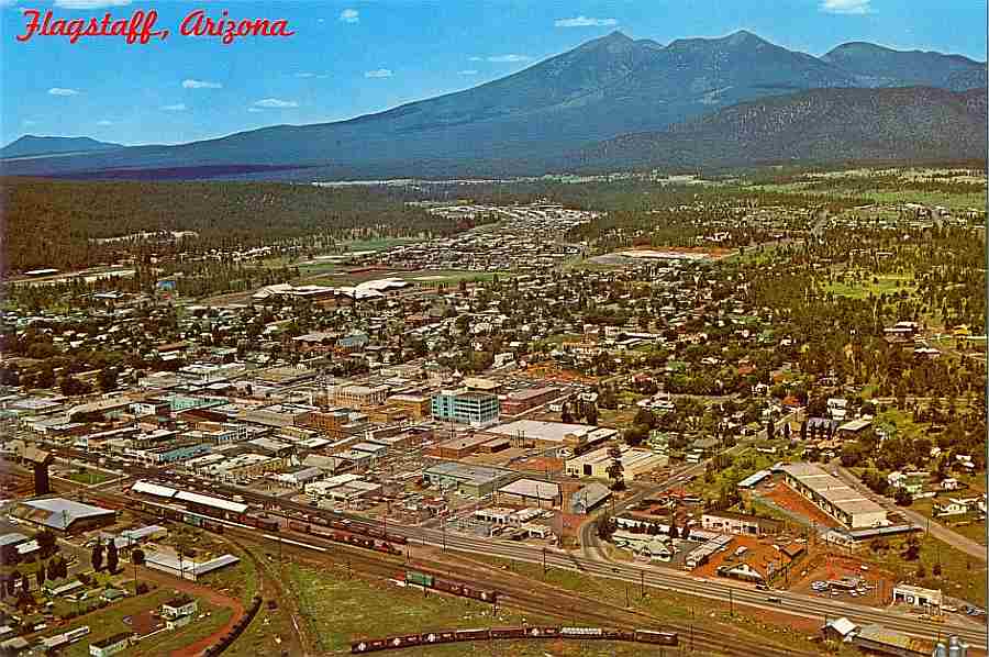
Flagstaff, Arizona |
| |
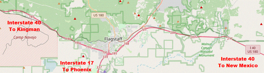 |
Flagstaff, Arizona Reference To Interstate 40 and Interstate 17 |
| |
 |
| Leaving Flagstaff, U.S. 180 branches northwest, passing Arizona Snowbowl, a popular skiing area. U.S. 180 meets State Route 64 in Valle, and follows SR 64 to the Grand Canyon. |
| |
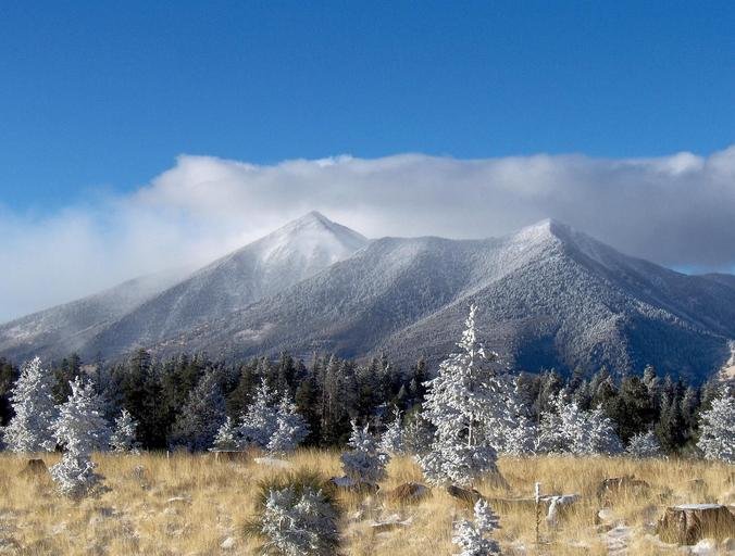 |
The San Franciso Peaks with fresh dusting of snow. |
| The San Francisco Peaks are a volcanic mountain range in San Francisco volcanic field in north central Arizona, just north of Flagstaff and a remnant of the former San Francisco Mountain. The highest summit in the range, Humphreys Peak, is the highest point in the state of Arizona at 12,633 feet in elevation. Home to the Arizona Snowbowl ski area, the Peaks feature awe-inspiring hiking trails through thick pine forests. |
| |
|
|
|